Before
Lawson Peak 3,606 feet

A few days into the PCT last year, we began talking about the Appalachian Trail or AT for short. We wondered if it was common to hike it Southbound like some people do on the PCT. That afternoon we met a guy who had Southbounded (or SOBOed) the AT the previous year. He made it sound like just what we would like, fewer people overall and generally more serious hikers than the pack of party animals that goes north from Georgia each spring. We decided then that was what we’d be doing the following year. At the time we assumed we’d be finishing the PCT, but that didn’t happen, thanks to the extreme wildfires. Over the winter we mulled over the decision of whether or not to return to the PCT or move on (for now) to the AT. In the end we chose the PCT, and reserved permits to go back mid May and re do some of the sections in Northern California, which is where it first started to get smoky and where it kind of stopped being fun.
We stayed longer at our winter job in Aspen than we anticipated and then took the scenic way back on our drive home to San Diego. It was May 19th by the time we got home and our PCT permit had been scheduled to start May 15th. It had been a high snow year for the Pacific Northwest, so we told ourselves we would just wait it out while enjoying day hikes, parks and beaches in San Diego. At this point we figured we would just go back to Crater Lake near the end of June and not bother with redoing any of the miles this year.
While we waited we decided to take care of getting our dental check ups. It turned out I would need a root canal in one of my top back teeth. We spent the next month waiting for insurance approval. When I called the insurance to see what was going on they made it seem like the dentist was failing to provide the information that the insurance was requesting and that they had also submitted my name wrong, so no progress had been made. This continued and eventually I got fed up and went to a new dentist. They filled my cavity on the spot, no root canal needed. That very afternoon we booked tickets to leave San Diego.
It was the latest into the summer Jeff had ever been in San Diego and the latest I had been since I started working in Alaska 10 years ago. A couple heat waves came and went while we were there. At first we took refuge in the cool of house with all the windows closed and curtained. Eventually we were so bored, we couldn’t take it anymore and started braving the heat and hiking with our umbrellas. We managed to go on quite a few new for us days hikes and two overnight backpacking trips. We backpacked in Idyllwild on San Jacinto and again on San Gorgonio. Most people probably don’t imagine that there are big mountains in Southern California, but San Gorgonio rises over 11,000 feet, making it the the highest peak in Southern California. Hiking the high peaks in Southern California is very similar to the conditions and views in the Sierra Nevada, but way less people. I also love all of the local low elevation chaparral hikes as well. San Diego will always feel like home to me.
During our hikes we talked in circle about our plans, finding it difficult to make any decisions. There had been a recent heat wave in the Pacific Northwest with temperatures in some areas reaching the 120s!! The vegetation was drying up and wildfires were already starting. We didn’t want to be hiking in smoke again or invest a bunch of time and energy in going back to the trail only to be forced off. Because of all of this we decided not to go back to the PCT.
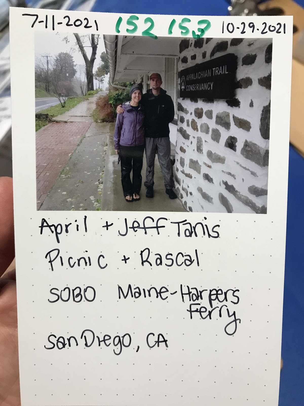
After my dentist appointment we made the flash decision to buy tickets to Bangor Maine, and start hiking the Appalachian Trail Southbound, with little to no planning. We left a week after the tickets were purchased to begin our next big adventure.

Mount Woodson 2,881 feet

El Cajon Mountain 3,366 feet

San Jacinto Peak 10,788 feet

San Gorgonio Peak 11,490 feet

Cowles Mountain 1,526 feet, highest point in the city limit

Mother Miguel Mountain 1,513 feet

Palomar Mountain, Boucher Hill, 5,417

Cuyamaca Peak 6,493 feet

Torrey Pines State Reserve

Guatay Mountain 4.872 feet


Comments
Post a Comment