08/03-08/05 Rangeley to Andover
Day 24
Tuesday August 3rd
to Bemis Steam
220.4 - 234.4 = 14 miles
We sleep peacefully in our hut by the creek, managing to sleep in until 6:30. We went to bed at 8:30, so that’s about 10 hours of sleep and we needed it! We don’t want to get out of bed, but the trail is calling.
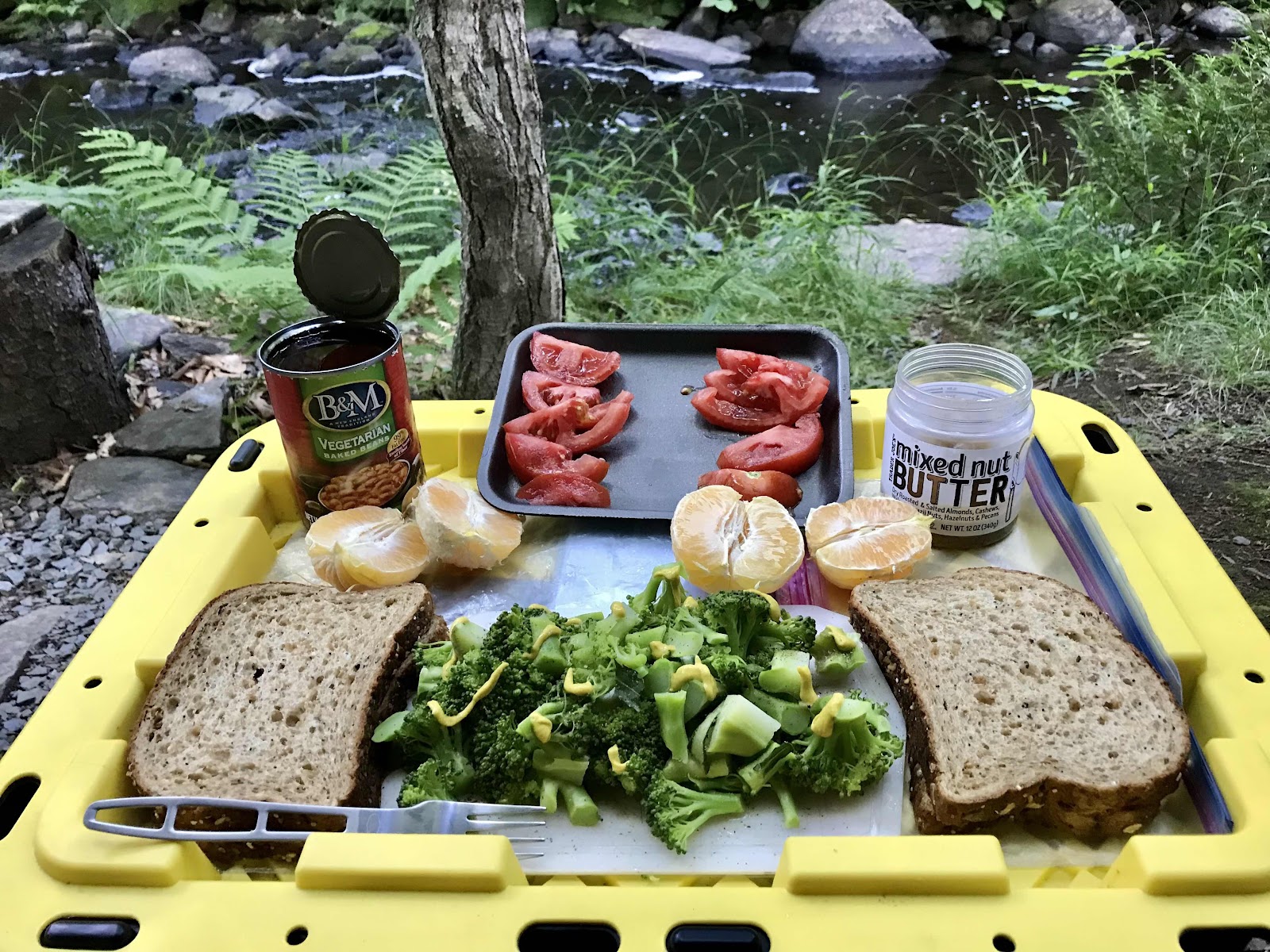
I make us a hearty breakfast with our luxury store foods.
Blanched broccoli (in the jet boil), tomato slices, oranges and baked beans on sprouted whole grain toast with mixed nut butter. A feast fit for a king! This place is known for its egg sandwiches, which Steve fries up every morning for $3 a piece. He insists on making one for Jeff on the house, so Jeff has one of those in addition to the wallop of fiber I made! We also get coffee from Steve. We had heard from other hikers that Steve could be unfriendly but he seems to like us! We linger too long, snacking on left behind food on the picnic table, delicious lemon creme cookies and bananas. It’s 10 AM by the time we’re back on the trail.
At the beginning of each section in Maine, there is a section description printed on an 8.5 x 11 sheet of paper and mounted on a board. For the last several sections it has said don’t underestimate the difficulty you are about to undertake. And the last one, for the Saddlebacks said we’d be hiking over 10,000 feet of elevation in the 32 miles. This one says it’s a relatively gentle section, so that’s a pleasant surprise!!
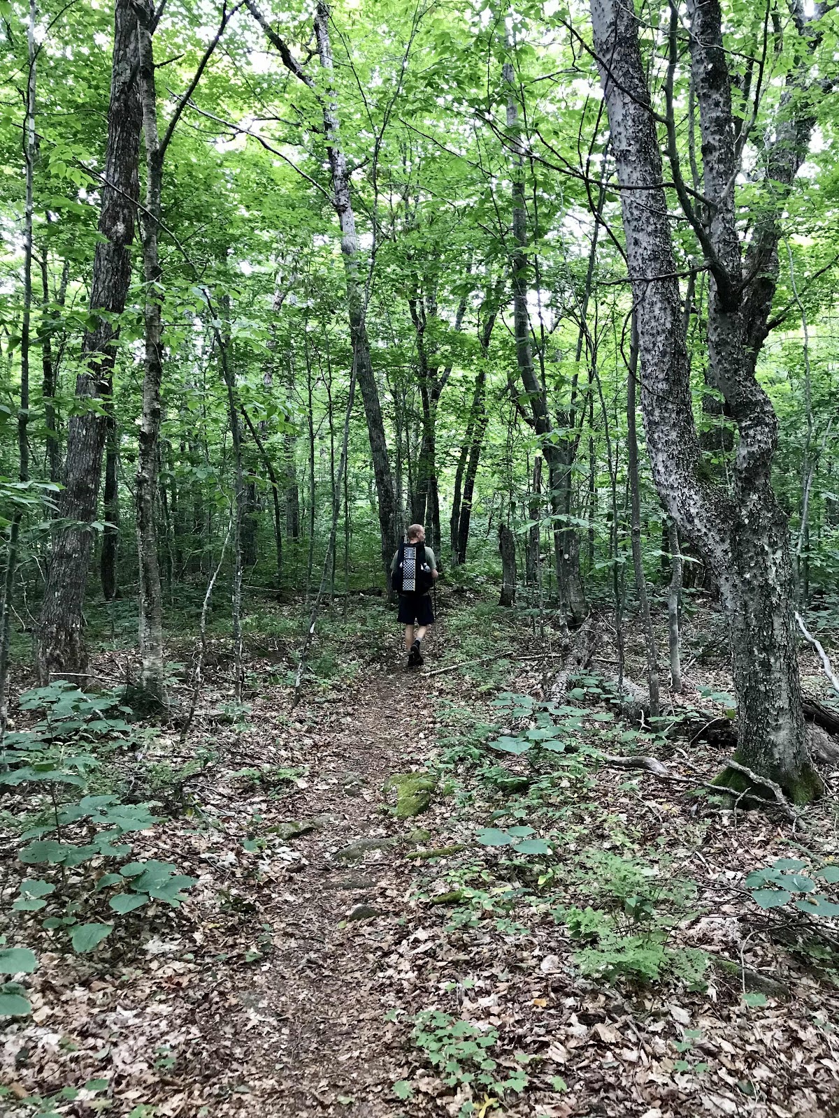
We are only planning to go a little over 9 miles to Sabbath Day Pond Lean-To, so we don’t mind the late start and don’t hesitate to take a long lunch at Little Swift River Pond. The trail is easy with level walking on leaves and dirt. We make good time, walking all day in the forest, making it to the lean to by 4:30.
We decide to keep going so we can get close to the base of the next climb and because it’s nice out and the trail keeps being easy and we have the energy. We hiked with Peter and Kae up to this point, but they stay behind we assume, because we don’t see them again after the lean to.
Just before sunset we reach another highway crossing (ME Route 17) at a view point called the Height of Land. We hurried to get here because several NOBOs told us there was trail magic. It ends up just being Coca-Cola in a cooler provided by a previous thru hiker. I have never been a big fan of soda and especially not caffeinated sodas before bed, so I don’t partake. Jeff has one, while I admire the impressive views of Mooselookmeguntic Lake. From there it’s just a mile downhill to camp in the fine maple and birch forest next to Bemis Stream. The group of early risers is already there with their tents set up.
It would have been really nice to stay up at view point for sunset, but getting to bed is important too. It has been so different on the AT, rarely getting views, compared to the PCT, with its nearly daily open ridge top camping and all day views. We really haven’t gotten to fully enjoy a sunrise or sunset yet! We have yet to have a campsite with a view. Camping on mountains here is more risky storm wise and means you’ll be far from the water.
I can’t think of a better breakfast!
Chipmunk with its cheeks stuffed full
Steve is selling the place and estimates that the 3 chipmunks he feeds may have a 3 year storage of nuts and seeds under the building!
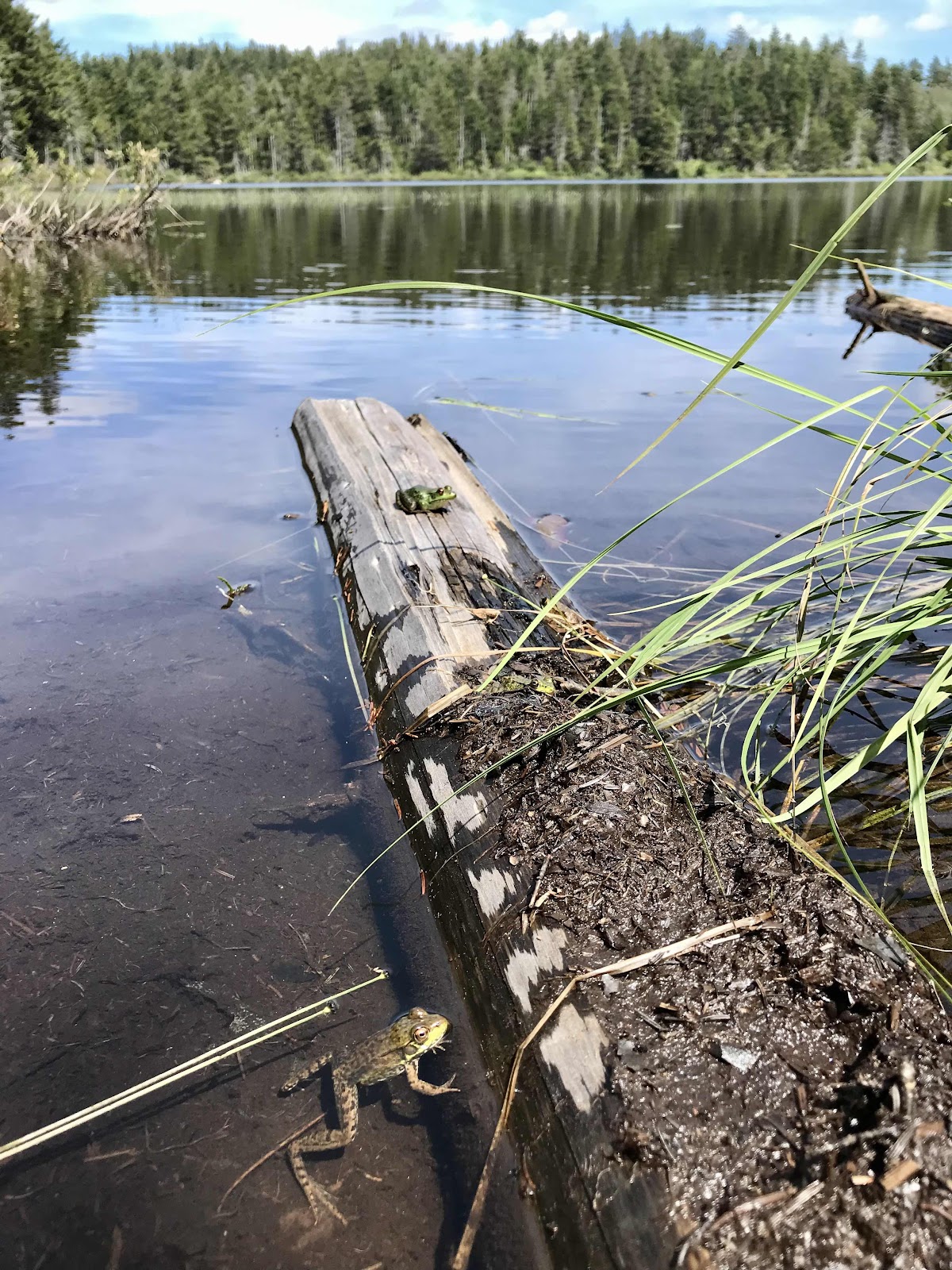
Lots of frogs at Little Swift River Pond. We counted 10, but there are only 2 visible in this photo.
Little Swift River Pond
ME Route 17 at the height of land
Good information about the flow of water in this area




Mooselookmeguntic Lake
A field of wildflowers, which we have yet to see, and Mounts Bemis and Old Blue in the distance. We’ll be climbing along that ridge tomorrow.


Day 25
Wednesday August 4th
Black Brook
234.4 - 246.9 = 12.5
We wake up at 5:15 and decide we should get up, rather than go back to sleep like we usually do. We beat all the early risers out of camp for once! The sun appears orange as it rises, our first indication that it will be smoky today. We begin climbing as soon as we leave camp. We are climbing up to Bemis Mountain today, the first peak of which is two miles from camp. The up is rather steep but is not terrible. Luckily it is not hot because the smokiness is blocking the power of the sun, but is is humid as always, and we sweat a ton.
At the lower Bemis Peak, we are on open rock slabs and get a view here and there, but all of the views are partially obscured by trees. We find bushes filled with large blueberries and stop for our first snack break and pick lots of them. We’ve been seeing blueberries since the beginning of the hike, but they seem to be getting better recently. They are usually only on the mountain tops.
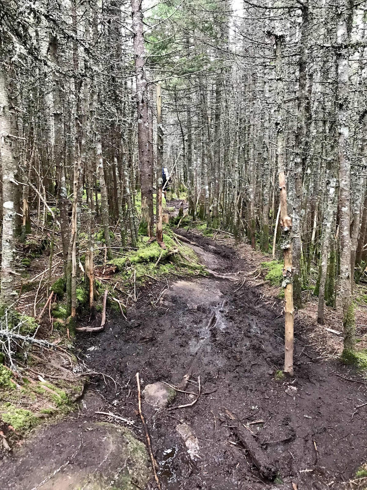
From the lower peak, it’s another two miles up to the main peak. We begin feeling fatigued at this point. Our big day yesterday is catching up to us. We go into a dark dense forest of dwarfed fir and spruce trees. The ground is covered in mosses and the trail is wet, muddy and bog like. It’s an obstacle course avoiding getting bog footed.
Bemis Peak is fully surrounded by the dense and dark forest and has no view. It’s on climbs like this that we can’t help but wonder what’s the point of coming up here? After the peak we continue on the boggy ridge, expending so much effort just to stay up right, hopping from one dry foot hold to the next. As we get more and more exhausted, this day begins to remind us of our day hiking the Chairbacks in the 100 Mile Wilderness. That day was our previously most challenging day. We weren’t expecting this!
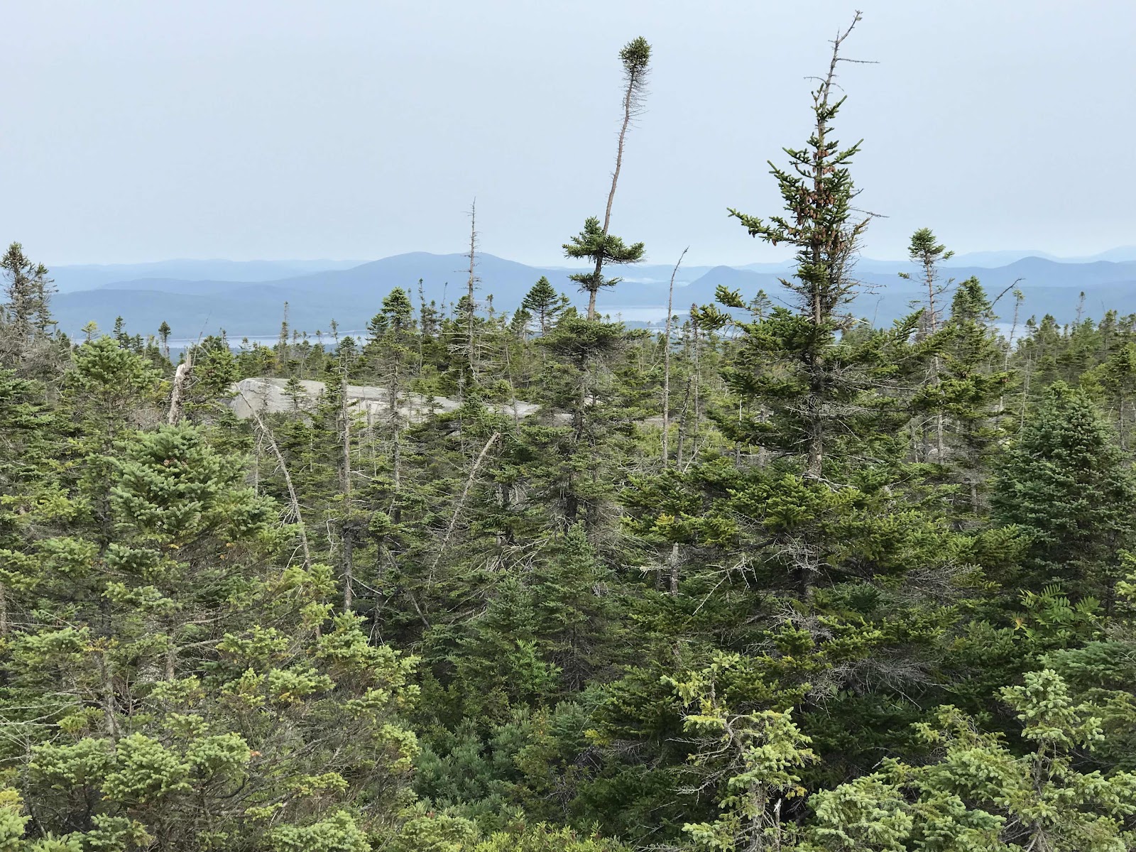
After hours of dodging hiker obstacles, we come to our final peak of the day, Old Blue Mountain. There is again not much of a view and it’s rather hazy. We can see the silhouettes of many distant mountains, but can’t make out anything clearly.
We assumed that our hike down off the mountains would finally relieve of us any more major effort, but boy are we wrong. The trail becomes a slick waterfall with a mixture of large rocks slabs and smaller boulders with water running down them. In between the waterfalls there are deep mud pits and many slabs so steep we practically rappel down. Eventually it levels off, once we’re about ready to drop dead, and the last mile and a half or so are thankfully relatively easy.
We get to our camp at Black Brook Notch around 6 PM. There is a paved road here called South Arm Road. It’s a back road into Andover and is a common pick up point for going into town. It’s real temping to go and take an extra night in town, but we resist the urge and enjoy an early night in camp.
Just before we get to bed we are surprised to hear Peter and Kae show up. They must have had an even harder and longer day than us. We are a little removed from the main campsite, in which the early risers are all located, so they don’t see us and we go to bed before we get the chance to talk.
Partial view from the open ledges on the lower Bemis Mountain (Second Peak)
This is what a partial view looks like
View ahead to the main Bemis Peak and Old Blue
View South
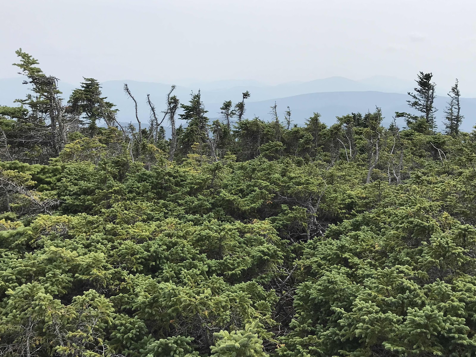
Partial view of the Rangeley Lakes on the way up Bemis Mountain
Very dense forest and very boggy
No view at the top
A cool plant we see a lot of called Indian Pipe. It’s not a fungus, it just lacks chlorophyll
Bog hopping on broken and sinking logs
Old Blue Mountain
View toward Mt Washington from Old Blue
It’s hard to tell the perspective of this photo, but this is looking back up something we just climbed down. It was steep and luckily there was rebar, but we aren’t usually so lucky.
View down to South Arm Road and Andover valley







Day 26
Thursday August 5th
246.9 - 256.9 = 10.1
East B Hill Road
We are up and walking by 6:45. We’re starting the day with a climb again, out of the valley and over Mt Moody. It’s foggy and cool for the climb. We don’t go all the way up to the high point of the mountain, just over the ridge and down to the next valley, Sawyer Notch. We are spared from another treed and viewless summit. There’s a nice creek at the bottom, then it’s on to another climb, up to Hall Mountain Lean-To. We take a quick side trail to a nice view back down to Sawyer Notch. From the view we call Pine Ellis Lodging to arrange shuttle pick up for our resupply in Andover. We have 3 hours and about 6 miles to go.
We are leading the pack today, we know it because we are having to clear all the cobwebs. Spiders go crazy every night making webs across the trail. They are really hard to see and it’s a really unpleasant feeling getting a face full! It’s 11:15 before we see our first NOBO, which means the trail is finally clear for us!
It’s pretty easy trail all day and down most of the way into town, but we still struggle to make it to the road on time. For about the last hour, I am practically jogging. For Jeff this is a speed walk. We make it just in time. It actually feels pretty good to stretch out my legs and go fast. So often we are unable to take good long strides due to the terrain. Our pick up time is 1:30 and Jeff makes it just before and I make it by 1:32, not bad! It’s just over 10 miles we cover, but it feels like a nearo since we are done so early.
A shuttle is waiting for us at the road, and we are glad because there’s no cross traffic on the road for the whole 8 mile drive into town. We are surprised when we arrive to find that it is just someone’s house, a really old cluttered house run by old ladies and filled with their lifetimes accumulation of stuff. It truly feels like visiting my Grandma’s house. For people who are expecting a hip and immaculate place to stay, they are sorely disappointed and even disgusted. This is reflected in the comments on our Guthook guide, and we’ve been very interested to see for ourselves. For us it’s fine, we prefer to visit the less popular more quiet places. It has everything we need, our own room, a shower, loaner clothes, laundry and food nearby. For once there are more clothing options for me than for Jeff. We usually find men’s clothing and t-shirts, but here its mostly ladies clothes! This is the only lodging, there were two other options nearby, but they are not in town. My mom sent us a box here so that was another reason to come here. There is another town, Bethel, in 10 miles but we didn’t know about it when we arranged for box to come here.
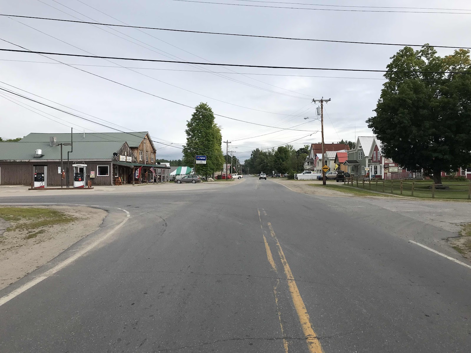
It turns out to be a really small town, just a 4 way intersection with a gas station and convenience store/restaurant. There is also a church, community center, post office, town park and a scattering of houses.
We go to Mills Market for our food, and as it’s the only place around for miles, it’s pretty busy. They have a hot food counter in the back where we order a veggie calzone, veggie wrap, sweet potato fries and grape juice. We buy some extra snacks, cookies and the only produce they have, watermelon slices, a local cucumber and bananas. Our food is really good and we are happy with our purchases.
We learn that it will be only $30 to slack pack tomorrow’s 10 mile stretch to Grafton Notch, so we sign up pick out day packs and spend the rest of the evening sorting out our packing. We would have a really heavy first day out if it weren’t for the slack pack because we made a mistake in our planning, thinking we needed 5 days of food to leave from here. We learned that our next resupply town has two access points, one of which comes 20 miles sooner. We didn’t know that before my mom sent the box, so we have more food than we need. Rather than just get rid of it in the hiker box, we plan to take it with, but make the first day easier by traveling light. We will get our heavy packs brought to us as the end of the day where the trail meets highway 26 at Grafton Notch. It always takes more time to deal with food than we would like, but I finally get it finished and getting to bed close to 10, much later that I’d like.
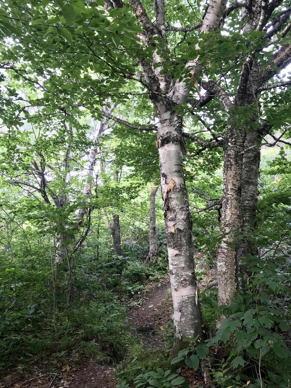
Pretty little birch trees up on Mt Moody in the morning
View across Sawyer Notch from Mt Moody to the next climb of the day. Hall Mountain Lean to is located somewhere near the top of that mountain between the two high points.
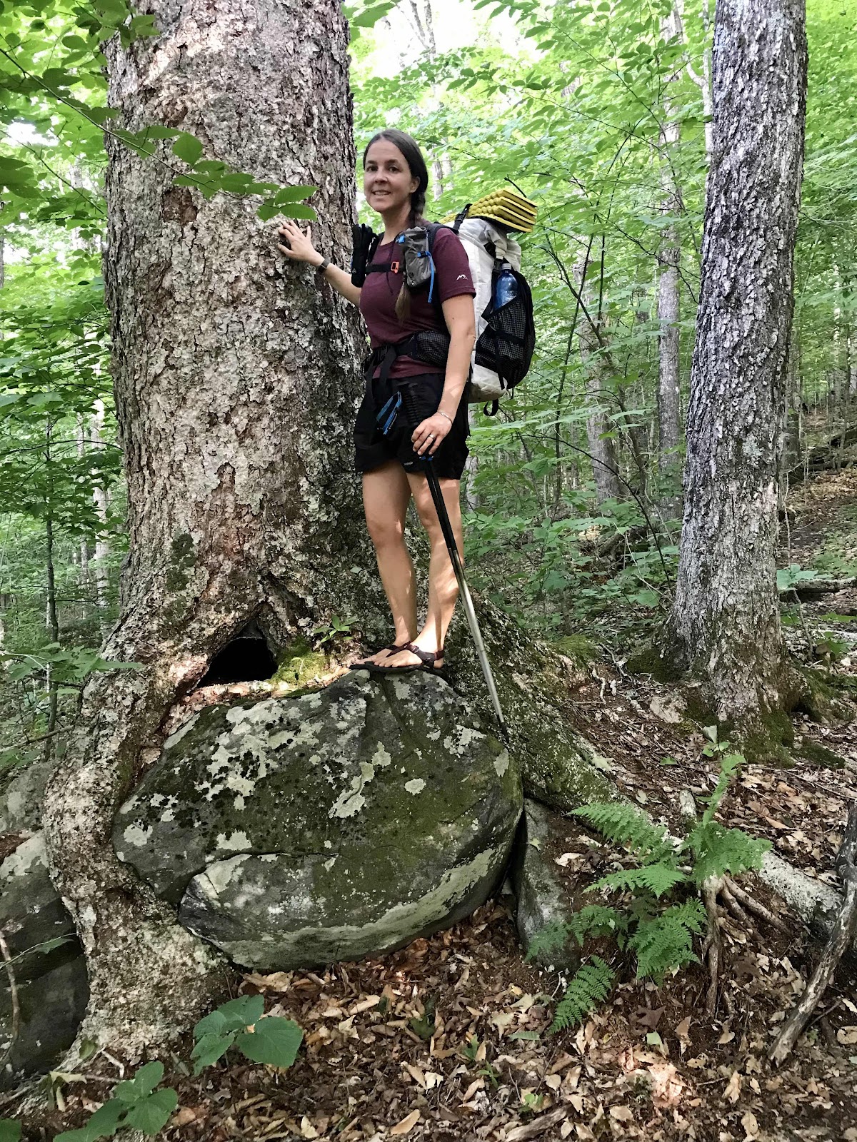
Really large birch tree trunk. We saw a lot of impressive trees today. Birch are probably my favorite trees, especially the big old ones. They are so pretty. They never get this big in Alaska, so these are really neat to see!
A very large today. It’s always hard to tell the size in photos, but this is the biggest one we’ve seen at about the size of my fists
Panorama from near the Hall Mountain Lean to
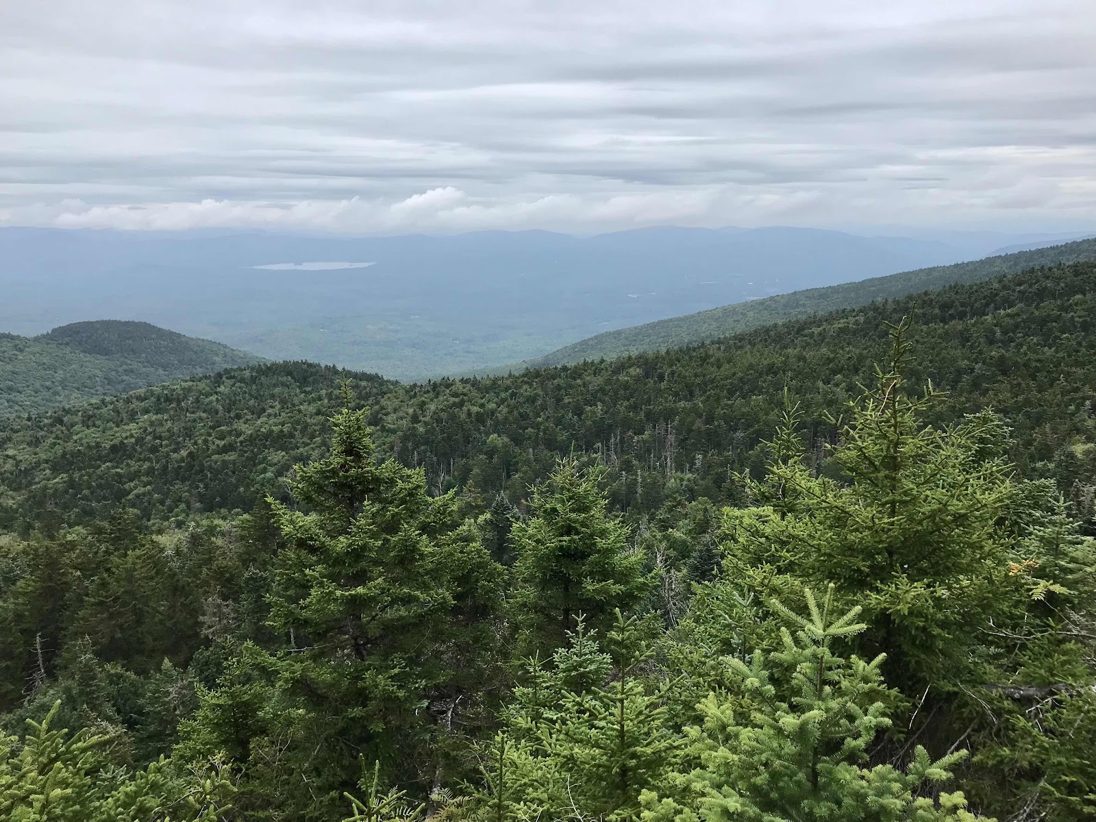
View of Andover Valley from the view point near the lean to



Very nice terrain at the end of the day for some speed miles.
Our room upstairs at Grandma’s house, complete with Afghans and twin beds.
The outside of Pine Ellis lodging, a big old house from the 1800s! Our room is on the top floor, left side.
Mills Market
Community center
4 way intersection
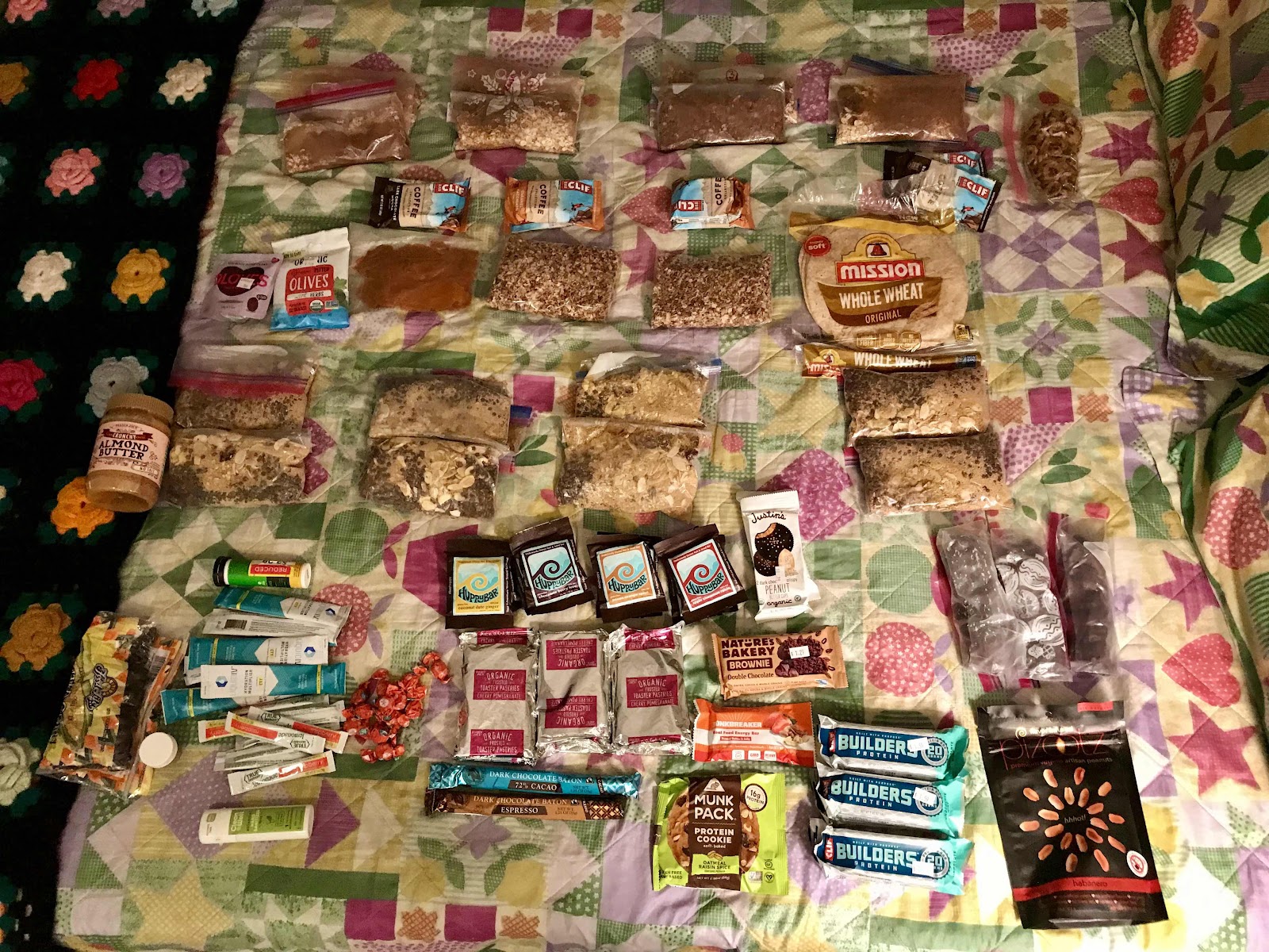
Resupply: chocolate turmeric oats for breakfast with dried cranberries and almonds, curried whole wheat cous cous with lentils, almonds and dried cherries for dinner, refried beans and tortillas for lunch and lots of snacks. Snacks include dates and nuts, Clif bars, Clif Builders bars, Trader Joe’s pop tarts, chocolate, huppy bars (similar to larabars), fig bars, cookies and also in the photo is our vitamins and lots of electrolyte drink mixes. We each eat 3-4 snacks per day.




Comments
Post a Comment